
South Florida · Accurate As-Built Documentation for High-End Residential and Commercial Projects
Precision As-Built Surveys
LiDAR-accurate documentation for architects, designers, and contractors.
Residential · Commercial · Hospitality · Retail · Multi-Family
Accurate Existing Conditions
Using Leica laser scanning technology, we document existing conditions and deliver accurate DWG, PDF and Revit-ready files for architects, interior designers and contractors throughout South Florida.
- Survey Coverage
Interior & Exterior Documentation
- Deliverables
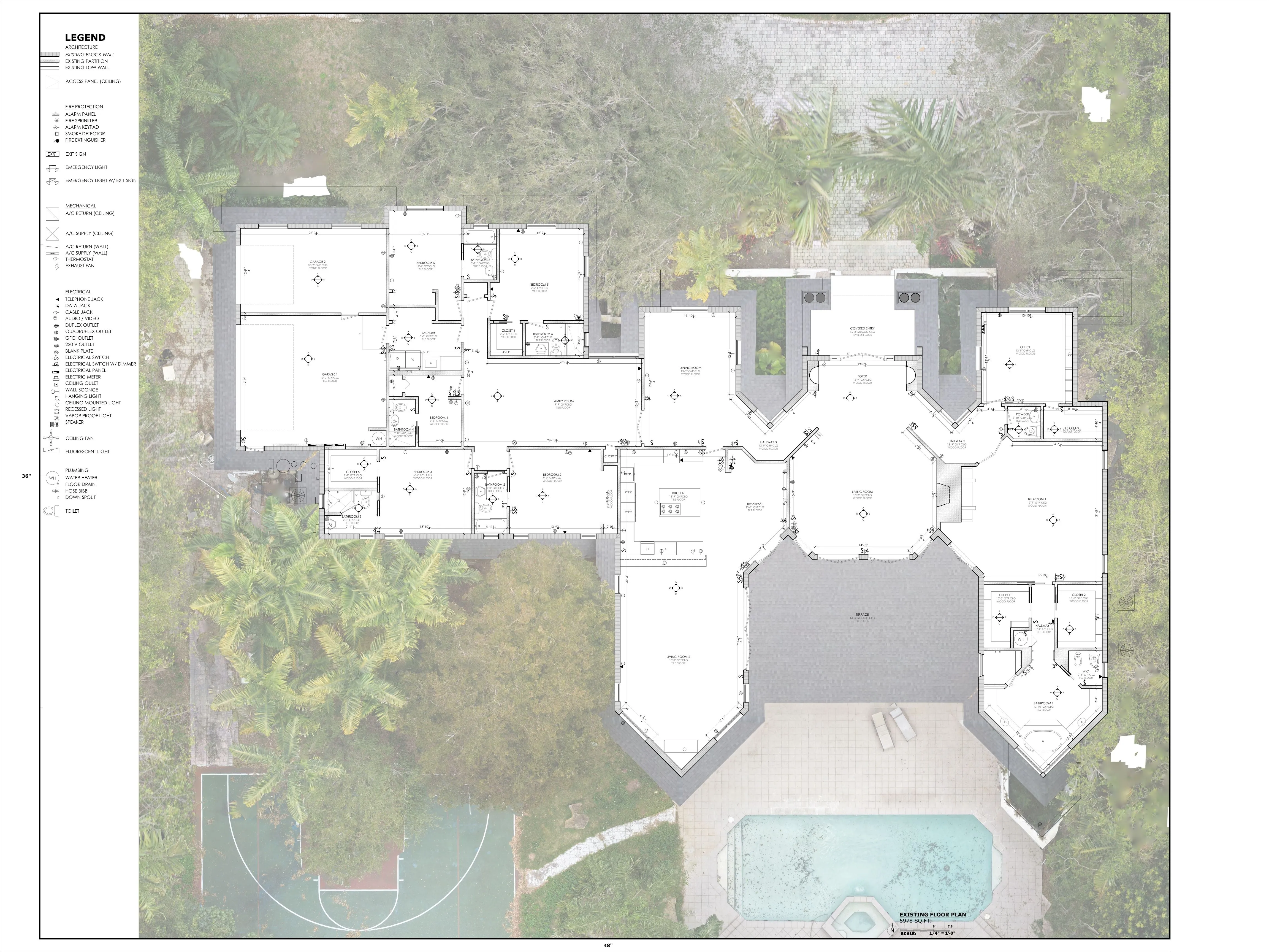
Existing Condition Floor Drawings
- File Formats
DWG · PDF · JPG
- Drawing Package
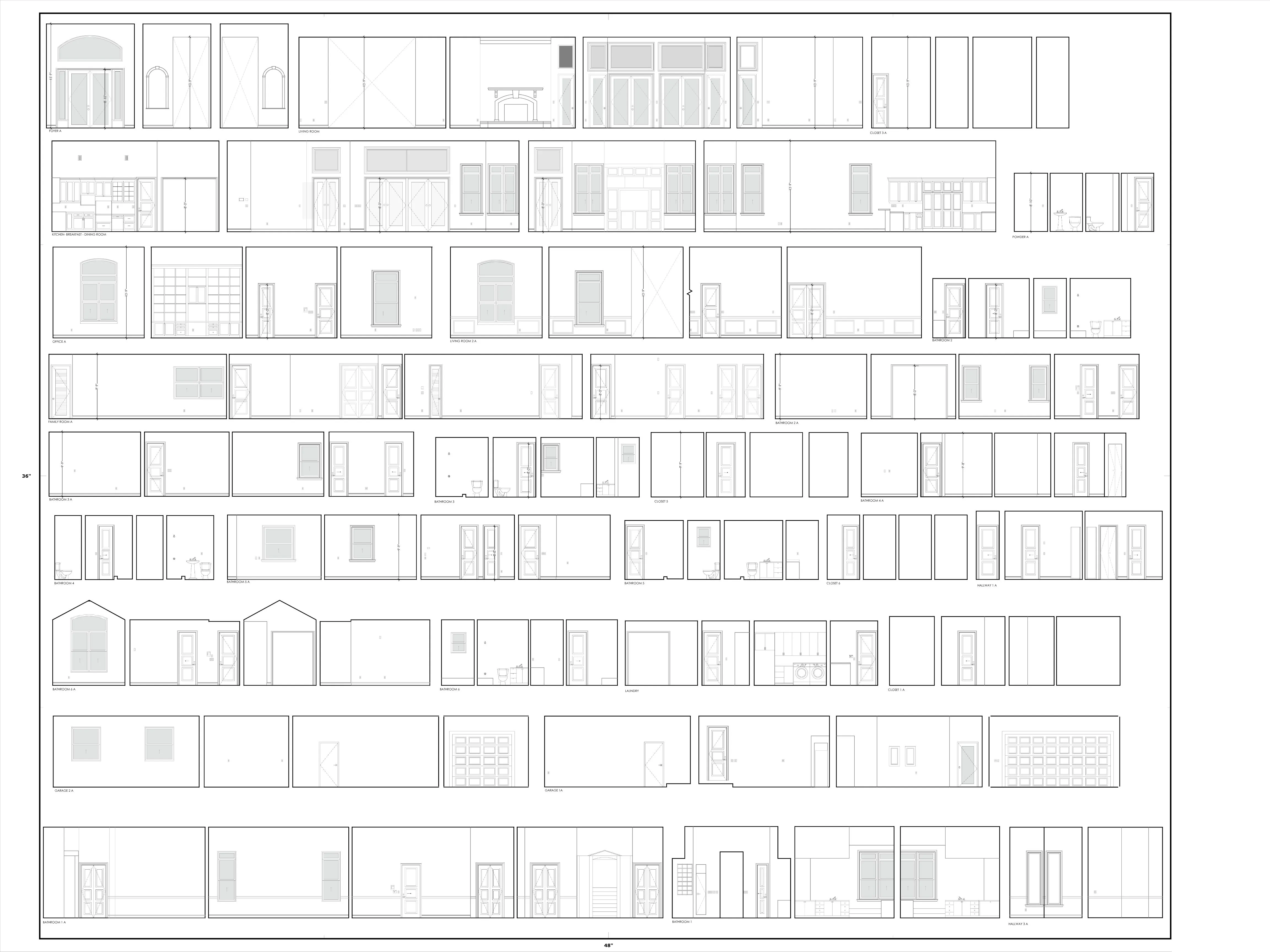
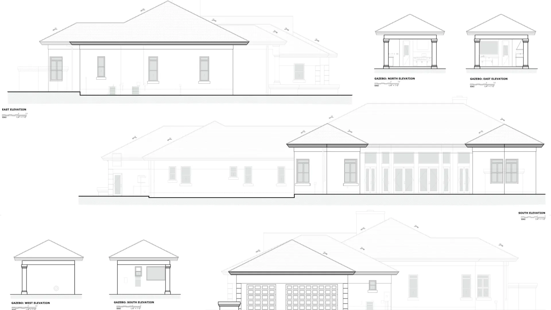
Floor Plan, RCP, Roof Plan, Exterior Elevations, Interior Elevations
- Optional Add-On
Revit Models
- Technology
Leica BLK360 & RTC360
Technology Built for Accurate Existing Conditions Documentation
We accurately document existing conditions and deliver as-built drawings that serve as the foundation for future design, renovation and construction projects.
-
BLK360 · RTC360
Leica Geosystems
High-accuracy LiDAR laser scanning
-
AutoCAD · Revit
Autodesk
Professional drafting and modeling workflows
-
Document Platform
Fazzad
Survey archive and project handoff
Handoff formats
- DWG
- RVT
- JPG
- E57
Deliverables are prepared for design.
What You Receive
Complete Existing Conditions Documentation
01
Floor Plans
Room layouts, dimensions, doors, windows, walls and architectural features documented as they exist at the time of the survey.
02
Reflected Ceiling Plans
Ceiling layouts including soffits, bulkheads, lighting fixtures, diffusers, access panels and visible ceiling-mounted devices.
03
Roof Plans
Roof geometry, penetrations, rooftop equipment and visible roof features.
04
Exterior Elevations
Building facades, openings, roof lines and exterior architectural elements.
05
Interior Elevations
Documentation of interior walls, cabinetry, millwork, bathrooms, kitchens, retail spaces and other areas requiring detailed vertical information.
06
Visible MEP Documentation
Visible mechanical, electrical and plumbing devices documented within the architectural drawings.
07
Photography
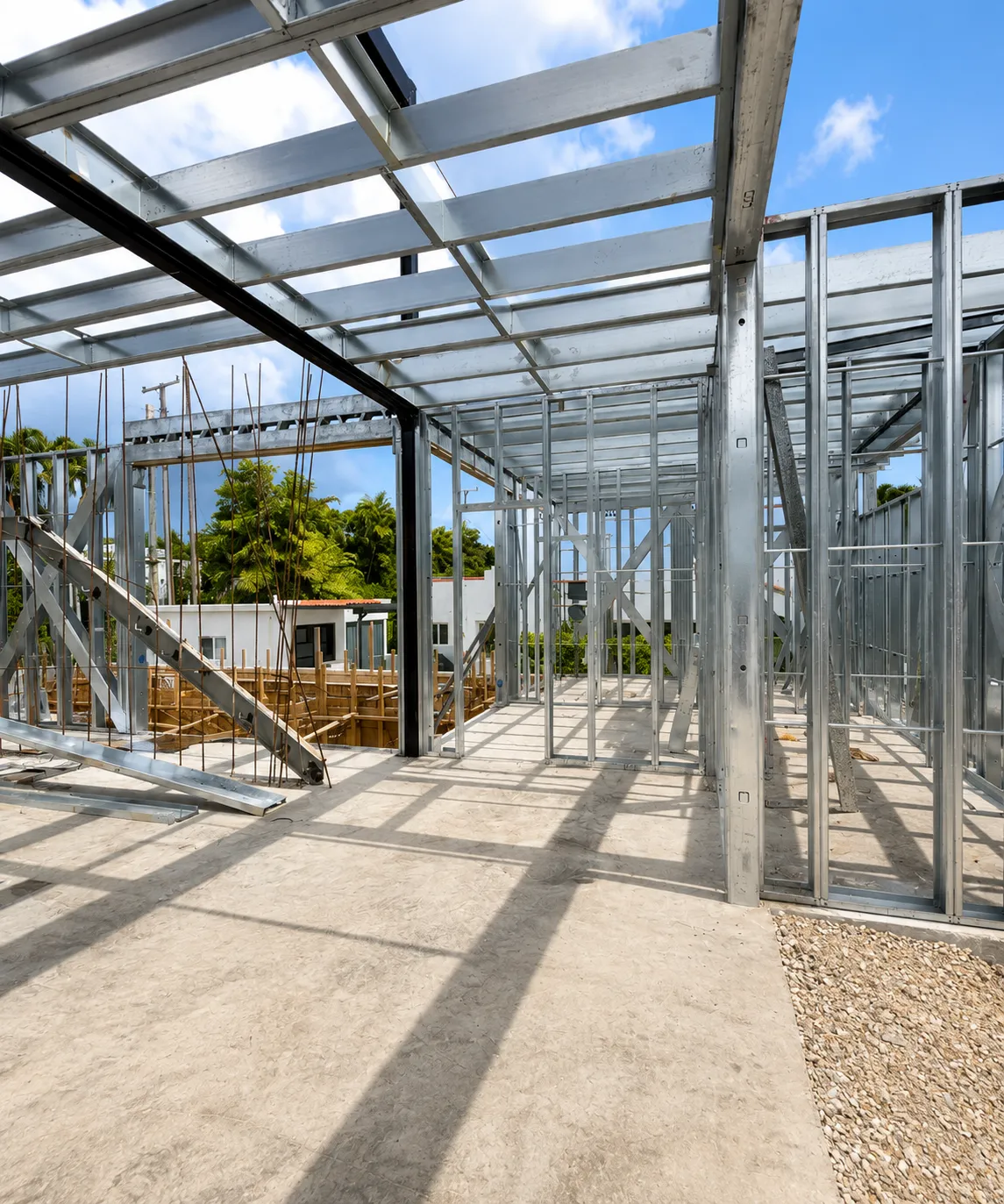
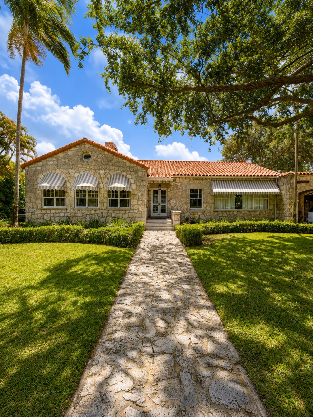
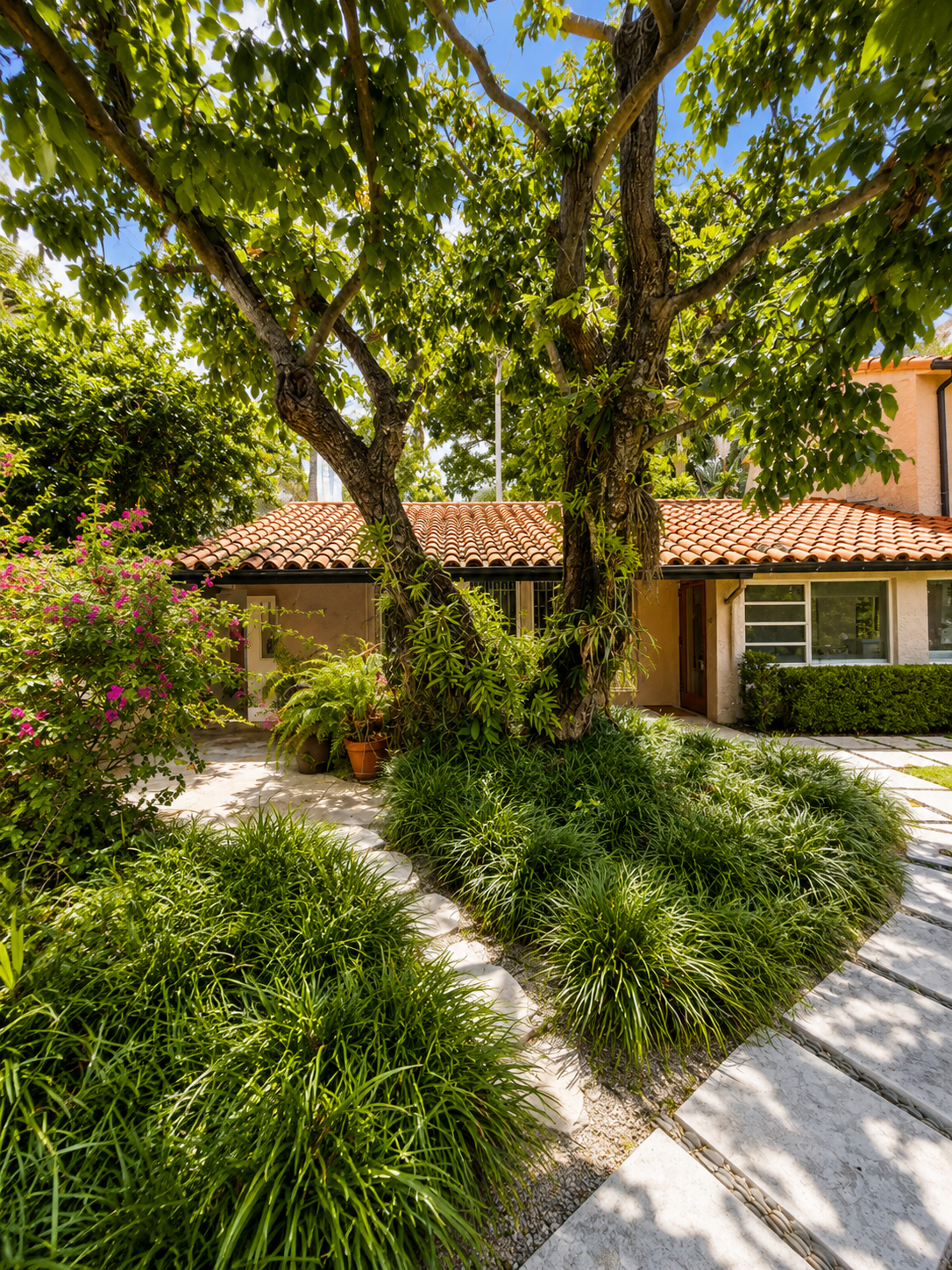
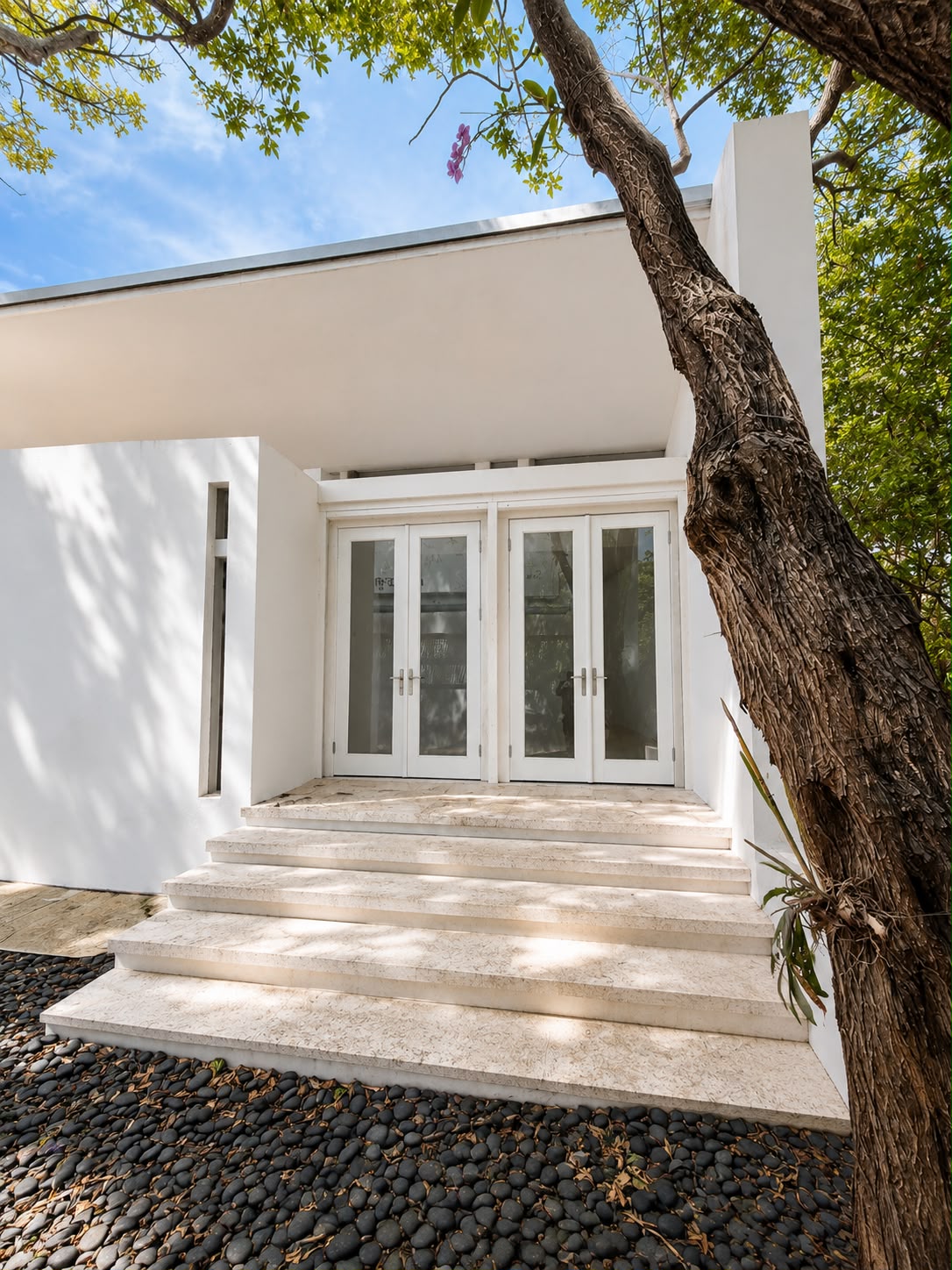
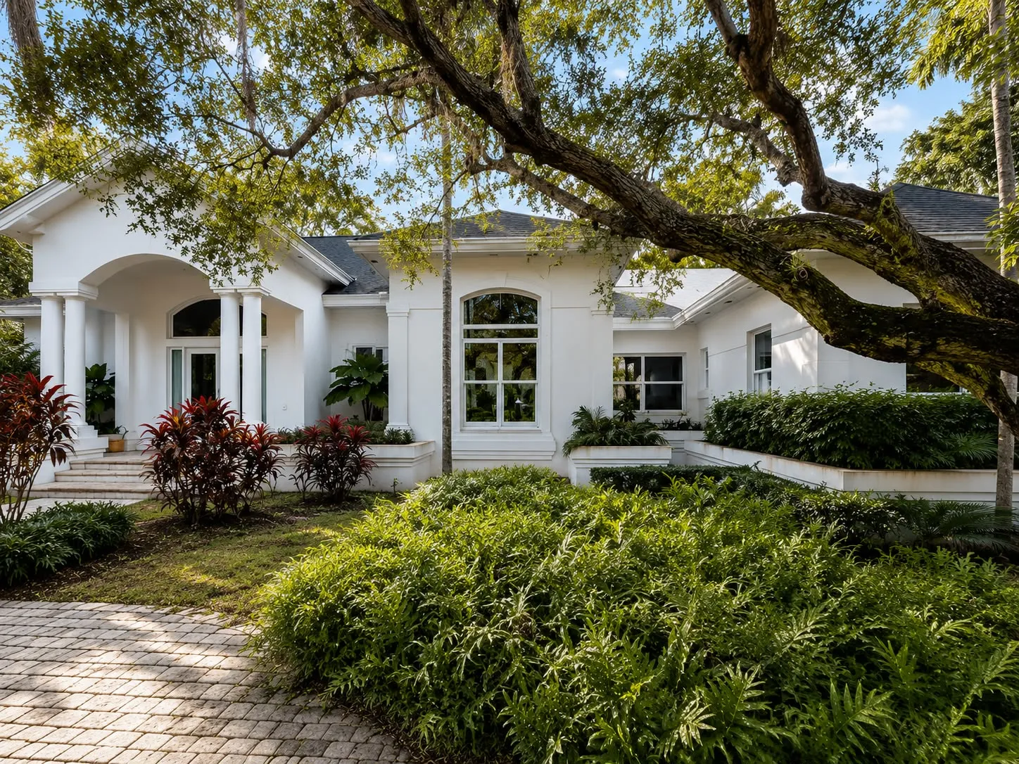
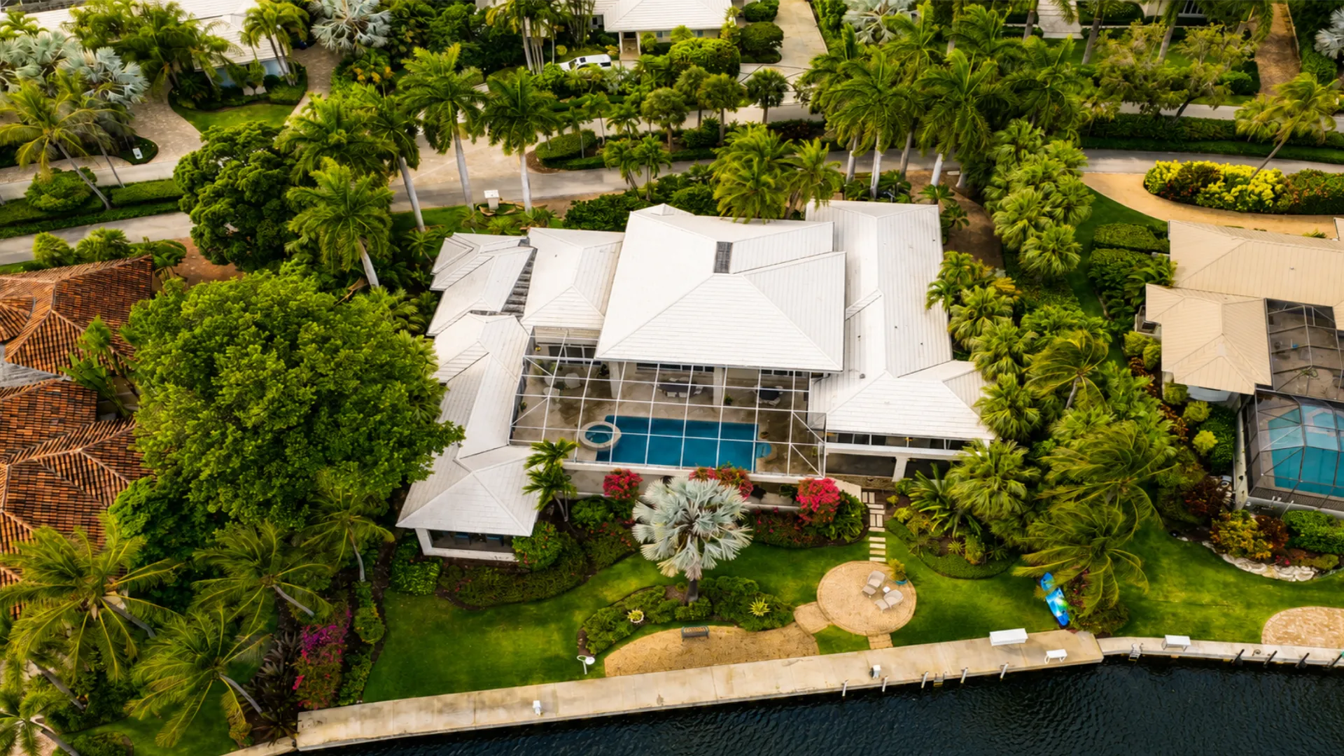
Still photography, 360° photography and drone imagery help document existing conditions and provide additional context beyond the drawings.
08
Point Cloud Capture
Every project is captured using professional laser scanning equipment to document the property's existing conditions. Point cloud files can be provided upon request.
09
Revit
Revit Models available as an additional service.
What You Receive
Complete Existing Conditions Documentation
- 01
Floor Plans
Room layouts, dimensions, doors, windows, walls and architectural features documented as they exist at the time of the survey.
- 02
Reflected Ceiling Plans
Ceiling layouts including soffits, bulkheads, lighting fixtures, diffusers, access panels and visible ceiling-mounted devices.
- 03
Roof Plans
Roof geometry, penetrations, rooftop equipment and visible roof features.
- 04
Exterior Elevations
Building facades, openings, roof lines and exterior architectural elements.
- 05
Interior Elevations
Documentation of interior walls, cabinetry, millwork, bathrooms, kitchens, retail spaces and other areas requiring detailed vertical information.
- 06
Visible MEP Documentation
Visible mechanical, electrical and plumbing devices documented within the architectural drawings.
- 07
Photography
Still photography, 360° photography and drone imagery help document existing conditions and provide additional context beyond the drawings.
- 08
Point Cloud Capture
Every project is captured using professional laser scanning equipment to document the property's existing conditions. Point cloud files can be provided upon request.
09
Revit
Revit Models available as an additional service.
Why Caldas Works
Existing Conditions Specialists Since 2013
-
Comprehensive Documentation
We provide complete existing conditions documentation, not just floor plans.
-
Photography Included
Still photography, 360° photography and drone imagery help provide additional context beyond the drawings.
-
One Team From Start to Finish
Field capture, drafting and delivery are managed by the same team.
-
Fast Turnaround
Most projects are completed in less than one week, depending on size, complexity and access conditions.
-
South Florida Experience
Thousands of residential and commercial spaces documented throughout South Florida.
-
Professional Reality Capture Equipment
Caldas Works utilizes Leica BLK360 and Leica RTC360 laser scanners to efficiently capture existing conditions and create accurate documentation.
Our Technology
3D laser scanning, powered by Leica precision.
Caldas Works uses professional Leica scanners to capture detailed point clouds, HDR field imagery, and reliable digital representations of existing spaces.
Interior capture
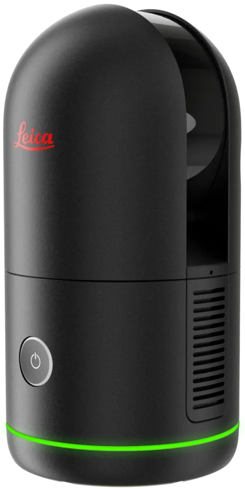
Leica BLK360
A compact Leica scanner for fast interior reality capture. It lets the team document tight rooms, furnished spaces, visible MEP conditions, and architectural dimensions without relying on manual field notes alone.
- Use case
- Rooms, corridors, furnished spaces
- Capture
- High-density point clouds and HDR imagery
Large-site documentation
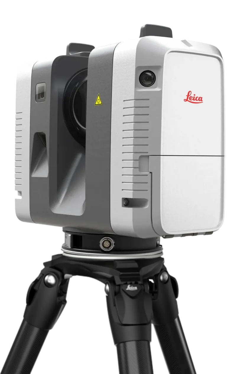
Leica RTC360
A high-performance scanner for larger or more complex sites. RTC360 data supports structural, architectural, and MEP documentation with fast scan registration and reliable point-cloud coverage.
- Use case
- Large homes, commercial sites, complex geometry
- Capture
- Up to 2 million points per second
- Workflow
- VIS-assisted scan registration on site
Capture standard
What the technology supports across every field visit.
Visible architectural, structural, and MEP measurements captured from the same field visit.
Point clouds become clean DWG, PDF, Revit, and scan archive deliverables.
Professional Leica capture reduces return visits and measurement guesswork.
Pricing
Transparent rates,
Transparent rates,
no surprises
Minimum project fee applies. Contact us for a precise quote — most projects are scoped within 24 hours.
Architects & General Contractors (Essentials)
Starting at $1.00 per Square Foot
Best for renovations and construction documentation.
- Floor Plans
- Reflected Ceiling Plans
- Roof Plans
- Exterior Elevations
- Visible MEP Documentation
- Still Photography
- 360° Photography
- Drone Photography (when applicable)
- Point Cloud Capture
- DWG Deliverables
- PDF Deliverables
Interior Designers (Premium Detail)
Starting at $1.50 per Square Foot
Includes everything in Essentials, plus Interior Elevations.
Contact usCustom pricing available for large commercial projects and hotel portfolios.
How It Works
From quote
From quote
to delivery
01
Contact Us
Tell us the address, approximate square footage, and what you need.
02
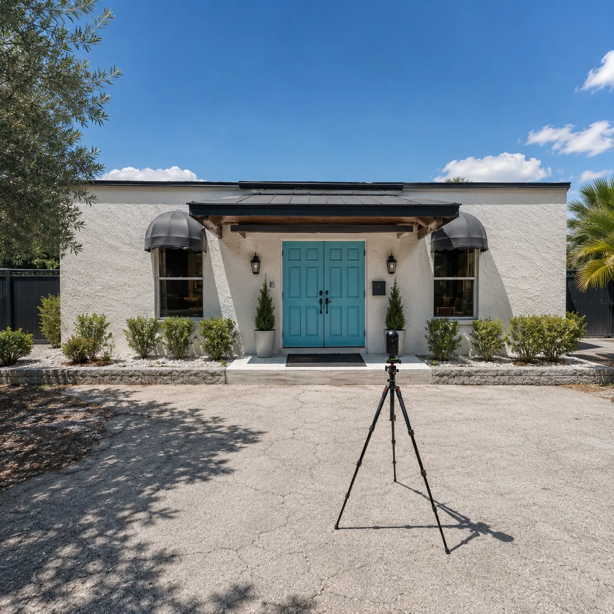
Site Visit
We visit the property and capture the existing conditions using professional laser scanning equipment and photography.
03
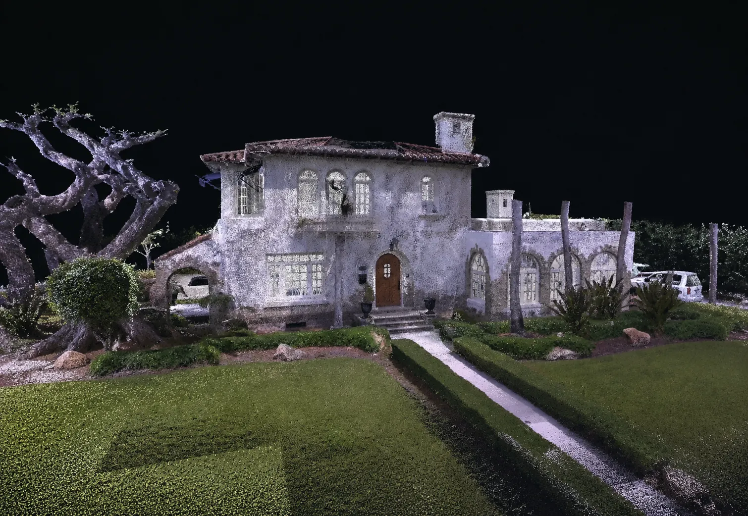
Data Processing
The field data is registered, reviewed and organized.
04
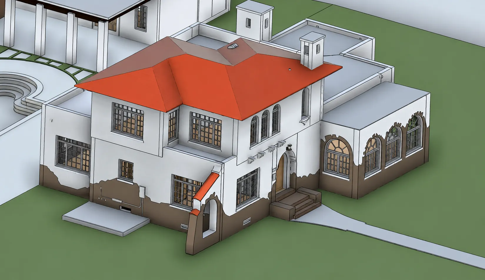
Documentation
Our team converts the captured information into architectural drawings and documentation.
05
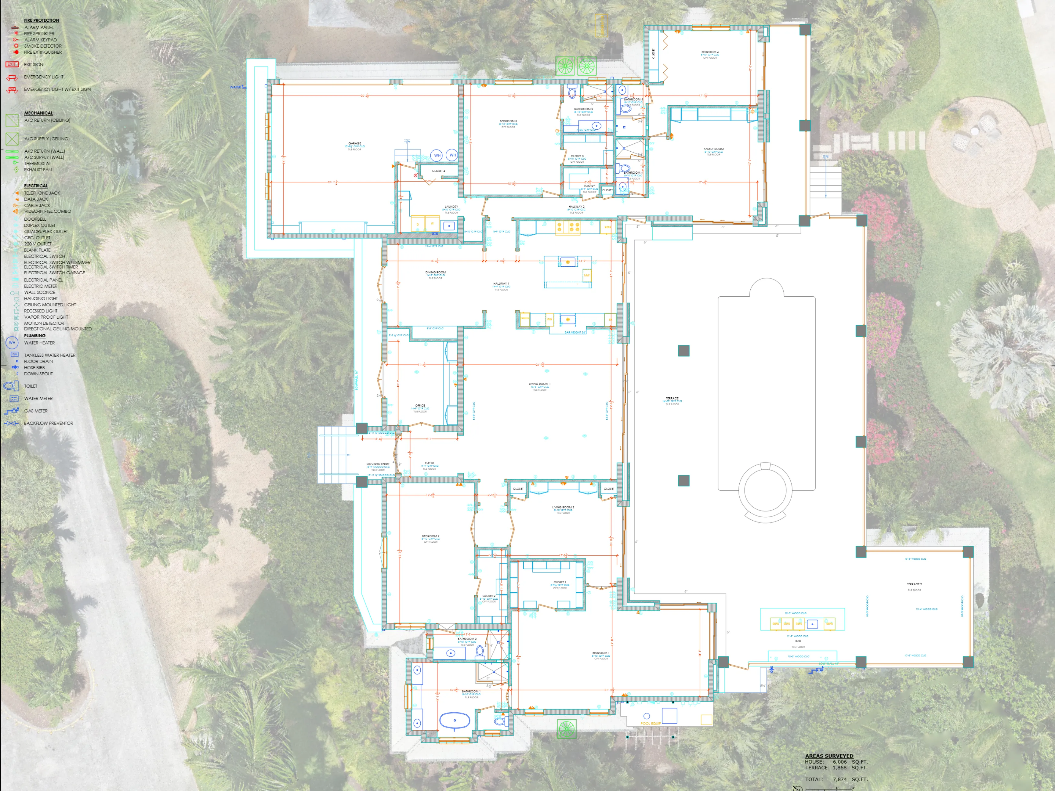
Delivery
You receive organized deliverables in digital formats ready for use by your project team.
FAQ
Common
Common
questions
Don't see your question here? Call us at (786) 355-3585.
Do You Provide Drawings For Permit Submission?
No, this service is designed exclusively for Architects, Interior Designers, and General Contractors for internal design and coordination, not for permits, and not for city or county submissions.
Do You Measure The Area Under A/C?
No. We measure the entire footprint per level, to the exterior walls. This often differs from the 'area under A/C' shown on real estate sites, which is not used for survey pricing.
Why do I need an existing conditions survey?
Many buildings have been modified over time and the available drawings no longer accurately represent the property. An existing conditions survey documents the building as it exists today.
Do you only survey the area being remodeled?
While some projects focus on specific areas, many professionals prefer documentation of the entire property to better understand how the remodeled area relates to the rest of the building.
What file formats do you provide?
Typical deliverables include DWG, PDF and JPG files. Point cloud files and Revit models are available upon request.
Do you provide Revit models?
Yes. Revit models are available as an additional service.
Do you provide interior elevations?
Yes. Interior elevations can be included as part of our Premium Package or as part of a custom scope of work.
How long does a project take?
Most residential projects are completed within 1–3 business days. Commercial projects typically require 3–5 business days, depending on scope and complexity.
What areas do you serve?
We primarily serve Miami-Dade, Broward and Palm Beach Counties, and travel throughout Florida for larger projects.
Get started
Ready to document your project?
Most quotes are returned within 24 hours.